
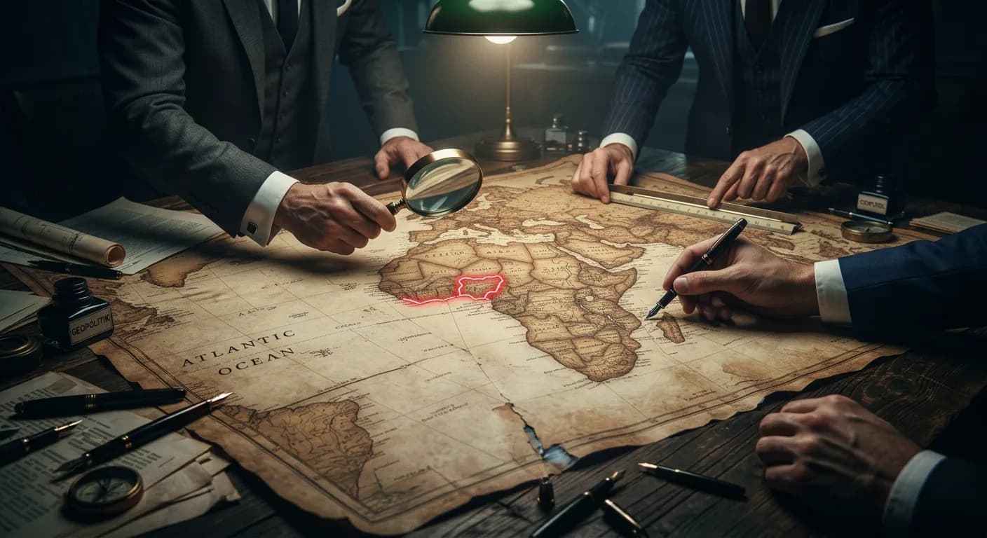
Maps are not just for geography or direction; they are instruments for power, tools of politics, and weapons of psychological warfare. For nearly five centuries, the world has looked at a single, official picture of our world. And for five centuries, that picture has been deemed an instrument of distortion and manipulation.
The United Nations on September 4, 2026 voted to correct the map of the world giving the African continent its true size. 164 countries voted yes, 6 countries; Estonia, Georgia, Lithuania, Moldova, Serbia, and Ukraine abstained and one country, the United States voted no saying it is a “radical ideological project.” It is not that the resolution would be binding to any country, nor ban the current Mercator map or impose a replacement, but for perception, the map of the world will be having an update.
The resolution was brought up by Togo on behalf of the African Union to phase out the 16th-century traditional Mercator map of the world in favour of one that displays Africa’s size more accurately in line with 2018 Equal Earth design.
Speaking before the resolution passed, Robert Dussey, Togo’s foreign affairs minister, said, the resolution “recognises and affirms that disproportionate cartographic representations, particularly those resulting from the Mercator projection, have had lasting cognitive, educational, cultural, geopolitical and socioeconomic effects, contributing to a drastic reduction in the perceived size of Africa and other regions of the world in the global collective imagination. This discussion is not a political discussion [but] a scientific discussion, because there is scientific proof so we all have to accept the reality.”
What this means is that the true size of Africa was misrepresented which contributed to the reduced size of the continent and affected how generations view Africa even in its importance, wealth and global standing.
In simple terms: shrinking Africa on paper, shrank how the world viewed its wealth, power, and global importance.
The Mercator map which was introduced by the Flemish cartographer Gerardus Mercator in 1569 was to help sailors navigate the seas. The Mercator projection preserves angles and rhumb lines. This has been in use for almost five centuries and has remained the global standard.
As Christine Leuenberger, senior lecturer in science and technology studies, Cornell University puts it, “Maps and cartographic names have political power. While we think of maps as objective unbiased representations of the world out there, they are always selective. What is included and what is excluded from maps is inevitably political.”
We must understand that maps are not just geography, maps are instruments to exert power. Think about the psychological impact for centuries for generations who continue to believe that Africa holds a tiny size and plays secondary in world politics.
The United Nations vote is not binding to any country but the resolution plays into the psychological perception that holds Africa as a small space.
Over these centuries, Africa was made to look smaller in size than at least Greenland whereas the true size of Africa is big enough to take up China and India combined.
A distorted map does not just shape how the world sees continents from the outside, it also dictates how nations carve up power from within. And it is more clear on the African continent itself; in Nigeria.
Read Also: Buhari's Politics of the Map: Territory and erasure of the South-east
Like the world map, Nigeria’s map is also a political map. Drawn by the British authorities and consolidated by Lord Lugard, its interior marking from the colonial era to the states drawn by the successive military leadership for the current 36 states is a true example for the distortion of perception.
Look at the towering Nigerian map. In 1914, the British amalgamated the Northern and Southern protectorates. But while the North remained undivided, the South was further divided first into the Eastern and Western regions following Richard's constitution, and post independence, adding the Mid-Western Region in 1963.
While the northern protectorate remained intact, the psychology and the perception through the map is a towering north unto the south. And to further cut the size of the south-east Nigeria in particular, it appears as a dot in the circle as infamously described by the former Nigeria’s president Buhari.
The appearance of the region as almost a dot is an outright distortion of perception since the amalgamation in an effort to make the region a minority region and seemingly further erasure. It does also convince the national and international audience of a tiny region which struggles to be independent and may not be viable due to land mass but the actual size of the south-east - the politically geographical name for the Igbo, no matter the square meters of land occupation in official text, is grossly distorted and misrepresented. And that includes the whole south.
Before the Nigerian civil war, General Yakubu Gowon divided Nigeria into 12 states in 1967. This was done partly to break regional power blocs and splinter the Eastern Region. Later, General Murtala Mohammed further divided Nigeria into 19 states; Ibrahim Babangida increased it to 21 states and then 30 states; and Sani Abacha brought it to the current 36 states. Even with the country divided into 36 states, the map continues to depict the northern states in bold, towering sizes.
The map of Nigeria is a direct instrument of power and politics. There is no doubt about that. It projects the north and its overbearing size as the power holders and indeed, political power is often ceded to them and they use it without developing the country.
Much as the distortion continues and perception cemented, the map is also an instrument of economic leverage and representation. Given that the federal allocation is made with the cognizance of land mass and population, the map becomes a political tool to sway opinion and economic benefits as well as number of representation in the national assembly and federal appointments.
Many may think that maps do not actually matter that much after all, it brings nothing to the country’s annual income or would the corrected map stop the overall extraction and exploitation of mineral resources across Africa. In education and worldview of the upcoming generations, it would matter a lot and in correcting the centuries-old distortion of the perception.
From the world map to national maps, map representation has never been neutral. It bears and projects the bias of those who are in control of the drawing and who largely benefits from the drawing. Drawing a line on paper defines who controls resources, who holds influence, and who gets remembered. The next time you see a map, look beyond it. Don’t just ask about the direction or geography, ask about the power the map projects and protects.